
01
Desktop review
Site history, geology, hydrogeology, existing bore records, historical groundwater levels and quality, previous reports, licences and operational information.
Groundwater Monitoring & Sampling
Soltera delivers groundwater level monitoring, logger programs and representative groundwater sampling as one coordinated service—supported by calibrated instrumentation, field QA/QC, laboratory coordination and hydrogeological understanding.
Fit-for-purpose monitoring
Effective monitoring begins before a bore is dipped or a sample is collected. We review the site, the available evidence and the groundwater risks so the monitoring network is designed around the hydrogeological system and the decisions the data need to support.
Site history, geology, hydrogeology, existing bore records, historical groundwater levels and quality, previous reports, licences and operational information.
Integration of bore logs, stratigraphy, groundwater elevations, aquifers, aquitards, sources, pathways and receptors using specialist tools such as Seequent Leapfrog where appropriate.
Monitoring bore numbers and locations based on groundwater flow, source areas, background conditions, site boundaries, receptors and data gaps.
Target aquifer, bore depth and screen interval recommendations informed by hydrostratigraphy, groundwater levels, vertical gradients and the monitoring objective.
Manual, continuous, monthly, quarterly, six-monthly, annual or event-based monitoring selected to capture meaningful groundwater behaviour.
Field and laboratory parameters selected around site history, potential contaminants of concern, background chemistry, compliance requirements and receptor risk.
Field delivery
Soltera delivers the recurring monitoring work with consistent methods, calibrated equipment, field QA/QC and the hydrogeological awareness to recognise when something does not look right.
Manual groundwater levels from defined reference points and field condition observations.
Logger supply, installation, programming, downloads, maintenance and manual verification.
Low-flow and fit-for-purpose sampling, field parameters, preservation and chain of custody.
Calibration, field QA/QC, bore inspections, contamination controls and traceable records.
Laboratory logistics, analytical schedules, data receipt and monitoring-round handover.
Groundwater sampling
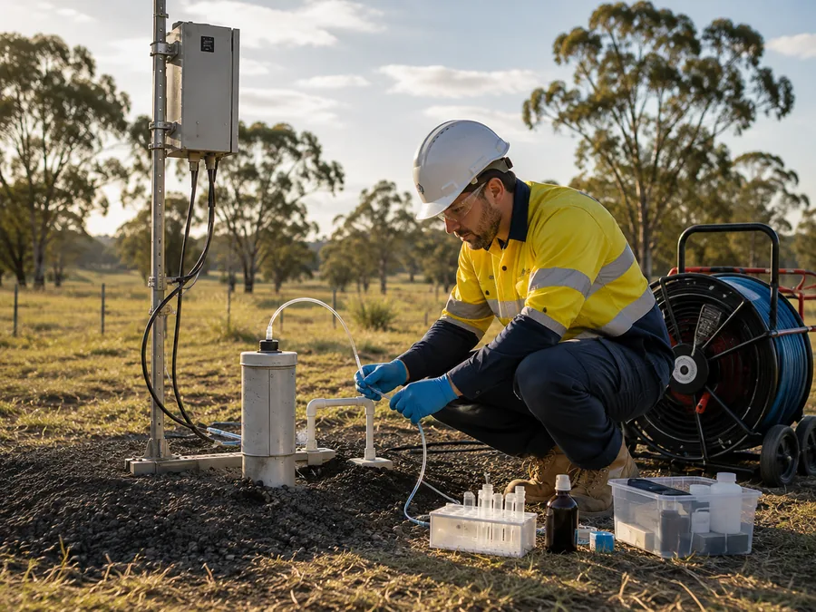
Sampling is delivered as part of the same controlled monitoring system—so water levels, bore condition, field parameters, sampling observations, QA/QC and laboratory handover remain connected in one traceable field record.
Loggers & instrumentation
Soltera can supply, install and manage groundwater monitoring instrumentation as part of an integrated monitoring program.
Data processing & QA/QC
Continuous monitoring data require systematic technical checks before they are interpreted. Soltera can process and quality-control logger records while preserving traceability back to the original data.
Atmospheric pressure correction using appropriate barometric records and documented processing methods.
Comparison of logger response against manual measurements to identify offsets, drift or installation issues.
Timestamp, clock, measuring-point elevation, logger depth and unit consistency checks before hydrographs are generated.
Where elevated salinity materially affects pressure-to-head conversion, groundwater density can be considered in the processing approach.
Outlier, gap, sensor drift, step-change and anomalous-response checks with documented adjustments where justified.
Conversion of verified measurements to consistent groundwater elevations for comparison across the monitoring network.
Groundwater data management
Soltera can organise long-term monitoring information into a structured groundwater database and project dashboard so clients can see, track and use the data without searching across disconnected spreadsheets and historical reports.
Hydrographs & interpretation
Clear visualisation makes long-term change easier to identify. Where required, monitoring data can be compared with rainfall, pumping, operations, trigger levels and groundwater chemistry to support technical interpretation.
Depth-to-water and groundwater elevation time series with consistent bore naming, datum and monitoring context.
Parameter trends, spatial comparisons, trigger levels and identification of emerging changes across monitoring rounds.
Comparison with rainfall, recharge, pumping, site operations and other relevant datasets where the monitoring question requires it.
A complete monitoring partner
Talk to Soltera about a new monitoring program, an existing network that needs improvement, or a long-term dataset that needs to become more useful.